
Other SWCP posts:
IntroductionDay 1: Minehead to Porlock
Day 3: Lynton to Combe Martin
Day 4: Combe Martin to Mortehoe
Day 5: Rest day, Morte Point loop
Day 6: Mortehoe to Braunton
Day 7: Braunton to Westward Ho!
Day 8: Westward Ho! to Clovelly
Day 9: Clovelly to Hartland Quay
Day 10: Hartland Quay to Morwenstow
Day 11: Morwenstow to Bude
Days 12-14: Bude to Crackington Haven
Day 15: Crackington Haven to Tintagel
Day 16: Tintagel to Port Isaac
Day 17: Port Isaac to Padstow
Day 18: Padstow to Porthcothan
Day 19: Porthcothan to Crantock
Day 20: Rest day, Holywell bay loop
Day 21: Crantock to St Agnes
Day 22: St Agnes to Godrevy
Day 23: Godrevy point to St Ives
Day 24: St Ives to Pendeen Watch
Day 25: Pendeen Watch to Sennen Cove
Day 26: Sennen Cove to Lamorna
Day 27: Lamorna to Marazion
Day 28: Marazion to Porthleven
Day 29: Porthleven to Lizard Point
Day 30: Lizard Point to Coverack
Day 31: Rest day in Coverack
Day 32: Coverack to Maenporth
Day 43: Kingsand to Plymouth
Day 2
Porlock village to Lynton
Approx 13 miles, 962m ascent
29,085 steps
I woke to a grey and drizzly morning, before the rest of the campsite was stirring. I slept okay, just a little chilly so climbed inside my bivvi bag part way through the night for an extra layer of warmth. I took surprisingly well to sleeping soundly in the tent; despite only a thin layer of fabric between me and the outside world I didn’t have any fears of axe murderers or wild savage beasts disturbing my sleep. Or perhaps I was just far too tired to care.
It took me a while to get going, I made a coffee using the communal kettle, and sat and had a natter with the other hiker that had arrived whilst I was having dinner the previous evening. Recently retired, he was hoping to complete as much of the path as possible in 6 weeks. He was planning on doing higher mileage than me so I didn’t think I’d see him again. I packed up my tent in a lull in the drizzle, then presented myself at the village butcher as it opened, to stock up on a scotch egg for breakfast, and a veg pasty for lunch, as it didn’t look like there was going to be anywhere for refreshments on route. Unsurprisingly given its practical origins, the pasty is perfect hiking food; sturdy and portable, packed with calories, and a somewhat balanced meal. I intended to eat plenty in the coming weeks!
Finally getting going, I headed back down the lane to the path, which warmed me up gently across a peculiar marshy landscape littered with bleached tree skeletons and abandoned empty farm buildings. The atmospheric wild grey sky and absence of any people made for an eery walk. The section to Porlock weir was across a shingle beach, which quickly became my least favourite walking surface. The single tree apparently growing happily out of the stones, along with the dead marshes, was making me feel like I was descending into Middle Earth.
 |
| Skeleton trees |
 |
| Looking across to Porlock Weir |
 |
| Beach tree |
A brief interlude through the peaceful village at Porlock weir, then back into the wild via a chocolate box toll house that was definitely straight out of the Shire. A climb up the lushly wooded hillside and I stopped to breakfast, out of the fine rain in a hollow below a tree. The next few miles traced in and out of heavily wooded valleys, mostly keeping a level elevation, but with some annoying little ups and downs, and with only brief glimpses out to the sea far below. The walking was pleasant with the branches above holding off the rain. The Middle Earth theme continued, with overgrown and ruined stone tunnels and bridges hidden in the foliage. These are seemingly remains of an old carriage drive around the grounds of a long-gone country estate, playthings of the rich in the 1800s.
 |
| The Shire? |
 |
| Tunnels through the trees |
The path continued through the woods, in places so verdant and green it could only be called a temperate rainforest. Hidden amongst the trees is the tiny church at Culbone. The hamlet surrounding the church is listed in the Doomsday book, and through the ages has variously been a prison colony, a leper colony, and a home to charcoal burners. The area is also thought to be the wandering grounds (in an opium haze) of the poet Samuel Taylor Coleridge, who lived nearby at Nether Stowey.
 |
| Rainforest |
 |
| A brief break in the trees |
Further on through the trees and I came to the Sisters' Fountain, a stone mound, receiving pool and cross erected over a natural spring. The structure isn’t as ancient as it appears, having been built in the 19th century, and was named after the Glenthorne estate owner’s daughters (or perhaps nieces) who enjoyed playing nearby. Further signs of the estate can be seen in the many escape rhododendrons that bring wonderful (but thuggish) colour to the hillsides.
 |
| Sisters' Fountain |
 |
| Rhododendrons brightening up the greyness |
I took my lunch break on an inviting fallen tree trunk, and closed my eyes for a few moments, suddenly feeling very tired. I was woken from my half-nap by a couple of fellow hikers. They had spotted me that morning from the comfort of their hotel breakfast at Porlock weir, and had been following me since. They were using their retirement to walk the entire England coast path in sections, starting with two weeks on the coast path. We continued to bump into each other for the next couple of weeks, and it was lovely to know I had company on the path.
 |
| Gateway in the trees |
At Kipscombe I was out of the trees, and greeted by the slightly incongruous but very welcome sight of a hikers’ honesty cafe; a table and a couple of chairs complete with tea and coffee making facilities and snacks. The weather and path then conspired to make the last couple of miles into Lynmouth very grim. The rain and fog and wind descended, and the narrow path was high on the side of the cliff with nothing but sheer grassy drop 200m down, to the wild sea below. Very grateful for my borrowed walking poles, I talked myself along, carefully avoiding slipping and sliding on the increasingly muddy path. I finally made it to the outskirts of Lynmouth, leaving the deathly drop-off to wind down the hill into the town.
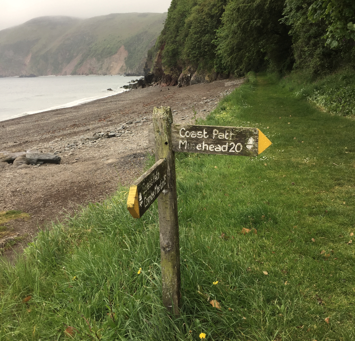 |
| 20 miles done! |
I’d hoped for a cup of tea but after consulting the tourist information office, I got straight onto the last train on the cliff railway, which was the most sensible route to the campsite up the valley. By this time my shoulders were extremely painful (possibly something to do with the 20kg pack!), so I found a pharmacy and got some muscle rub cream. Unfortunately no open cafes at the top of the hill, so I grumpily walked the last half a mile to Sunny Lyn campsite, and flopped down on the pitch, no energy to erect the tent. The family next door took pity on me and very kindly invited me for a cup of tea, so I found the motivation to pitch whilst they boiled the kettle.
Surprisingly the fast hiker I met on the campsite in Porlock was also pitched up, having decided not to carry on in the worsening weather. After a shower I adjourned to the pub, which along with excellent microbrew also served delicious Thai food. Suitably warmed through, contentedly full and phone charged, I was back to the tent and into my sleeping bag before dark.
No comments:
Post a Comment
Go on, make a comment :)
Note: only a member of this blog may post a comment.